


Vosges-150516 - SentierRoches

randodan
User


4h35
Difficulty : Medium

FREE GPS app for hiking
 SityTrail
IGN / Geographical institutes
SityTrail Plus
The world is yours!
About
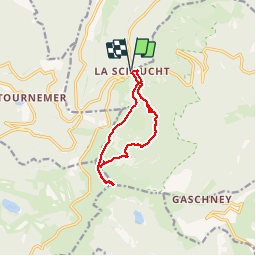
Trail Walking of 10.5 km to be discovered at Grand Est, Vosges, Le Valtin. This trail is proposed by randodan.
Description
2015 - Vosges - Basse-sur-le-Rupt<br>
- 16 mai : Sentier des Roches, Hohneck -<br>
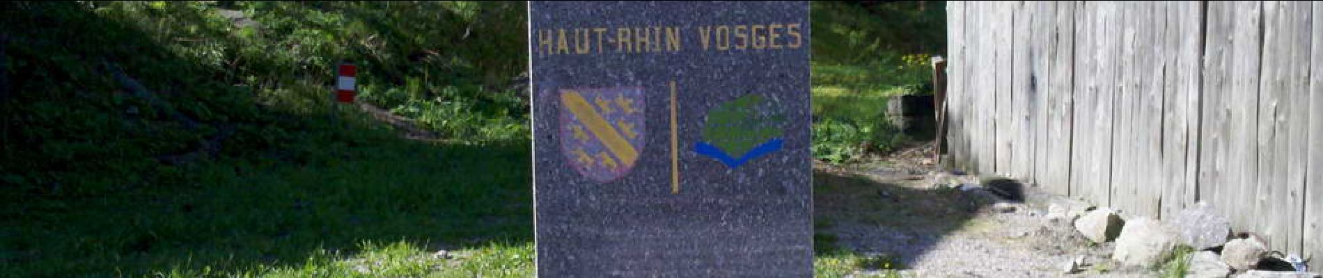
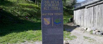
9h50, départ du Col de la Schlucht (1138 m).<br>
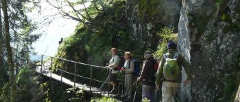
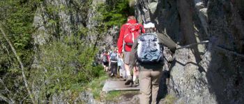
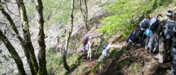
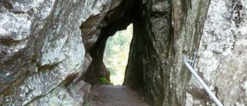
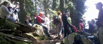
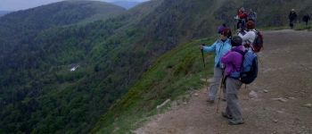
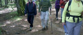
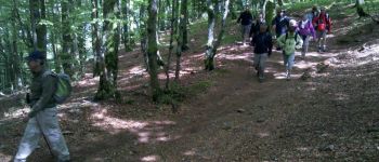
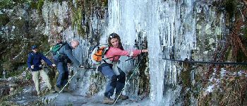
Le Sentier des Roches, en grande partie à flanc de falaise, semble (au GPS) à plus de 100 m au-dessus du tracé IGN ; il n'en est certainement que plus joli et impressionnant (nombreux passages équipés de mains courantes). Après 3/4 d'heure de marche, un tunnel permet le franchissement d'une épaule rocheuse . 11h20, pause biberon.<br>
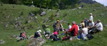
Midi à Frankenstein, pardon, Frankenthal (1028 m), on s'installe sur de confortables petits rochers dans une petite prairie pour le pique-nique . Une heure 3/4 plus tard, faut réveiller notre G.O., profondemment plongé dans sa sieste.<br>
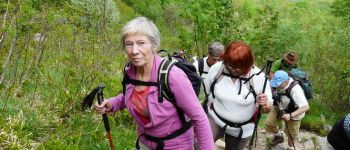
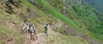
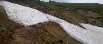
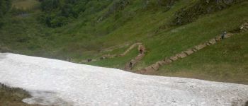
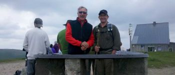
13h45, la troupe s'ébranle en vue des presque 300 m (Couloir de Falimont) à grimper pour digérer . 14h20, après quelques pas sur un névé, les 1ers arrivent au Col de Falimon, 1290 m (soit une montée à 450 m/h) . Pendant que certains s'offrent une petite pause, les plus courageux grimpent jusqu'à la table d'orientation du Hohneck, 1363 m (2e plus haut sommet des Vosges). 15h15, nous prenons le sentier de crête pour le retour (on y verra un chamois).<br>
16h10, sommes de retour au Col de la Schlucht.<br>
Très belle journée ensoleillée.<br>
<small>- nota.1 : Le sentier a été créé en 1910 par le club vosgien.<br>
- nota.2 : Je ne l'ai pas classé "difficile" car tous les passages délicats sont sécurisés par une main courante.</small>
Photos


Points of interest

Positioning
Comments